Mapa byla schválena.
Basic map data
| Scale |
1:10000 |
Equidistance |
5.0m |
Sport |
Foot-O
|
Specification |
ISOM (foot-O)
|
| Year |
2026
|
Published by |
Magnus Orienteering z. s. |
Filing number |
26E020O |
| Blocking until |
2035 |
Blocking reason |
|
| Map admin |
Martin Štoudek
|
Publisher |
ASU - Magnus Orienteering
|
Educational map |
ne |
| Locality |
Strážná - lesní komplex Cukrová bouda |
Kraj |
Pardubický kraj |
Area size |
4.323 km2
|
| Based on |
DMR 5G, DTM Pardubického kraje, ortofoto |
Stav |
08/2026 |
Drawing technique |
OCAD
|
| Printed in |
ADA Copy Servis s.r.o. |
Print technique |
laser
|
|
Main race (title)
|
Oblastní žebříček
|
Main race (date) |
2026-09-12 |
| Entry created by |
Martin Štoudek |
|
ID/status |
14834 / approved and closed |
Autoři
Obrys mapy
Map preview
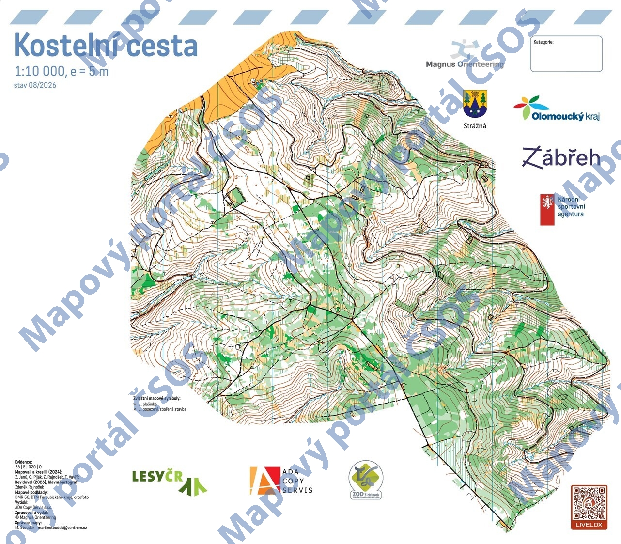
Using the map without publisher's permission for organized events is copyright piracy. Please contact the map administrator listed in the Map Archive database and obtain maps in full quality for printing.
