Mapa byla schválena.
Basic map data
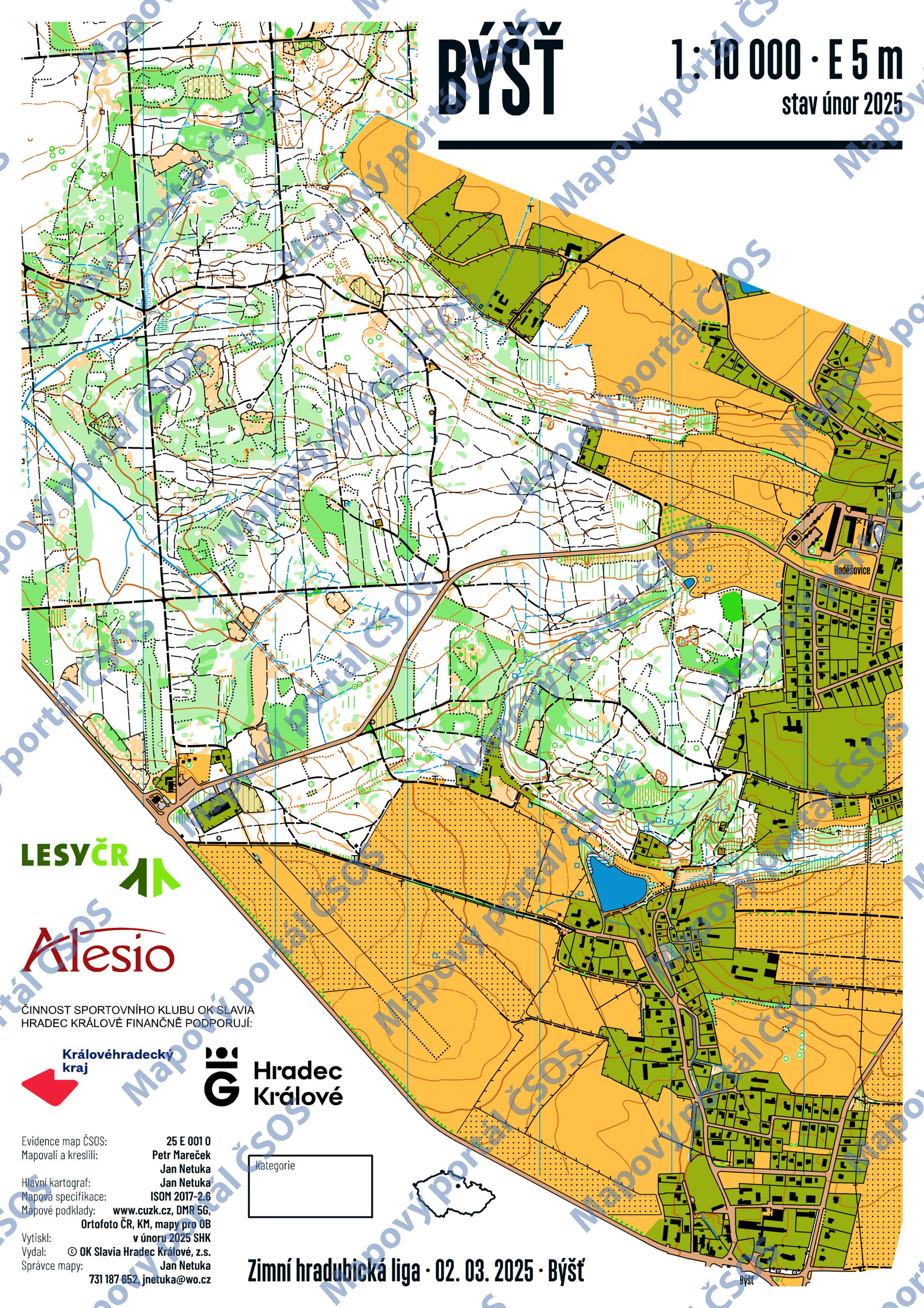
| Scale |
1:10000 |
Equidistance |
5.0m |
Sport |
Foot-O
|
Specification |
ISOM (foot-O)
|
| Year |
2025
|
Published by |
OK Slavia Hradec Králové, z.s. |
Filing number |
25E001O |
| Blocking until |
2033 |
Blocking reason |
|
| Map admin |
Jan Netuka
|
Publisher |
SHK - OK Slavia Hradec Králové
|
Educational map |
ne |
| Locality |
Býšť |
Kraj |
Pardubický kraj |
Area size |
4.337 km2
|
| Based on |
DMR 5G, Ortofoto ČR, KM, mapy pro OB |
Stav |
únor 2025 |
Drawing technique |
OCAD 2018
|
| Printed in |
SHK |
Print technique |
laser
|
| Main race (title) |
Zimní hradubická liga
|
Main race (date) |
02. 03. 2025 |
| Entry created by |
Jan Netuka |
|
ID/status |
13556 / approved and closed |
Autoři
Obrys mapy
Map preview
Using the map without publisher's permission for organized events is copyright piracy. Please contact the map administrator listed in the Map Archive database and obtain maps in full quality for printing.