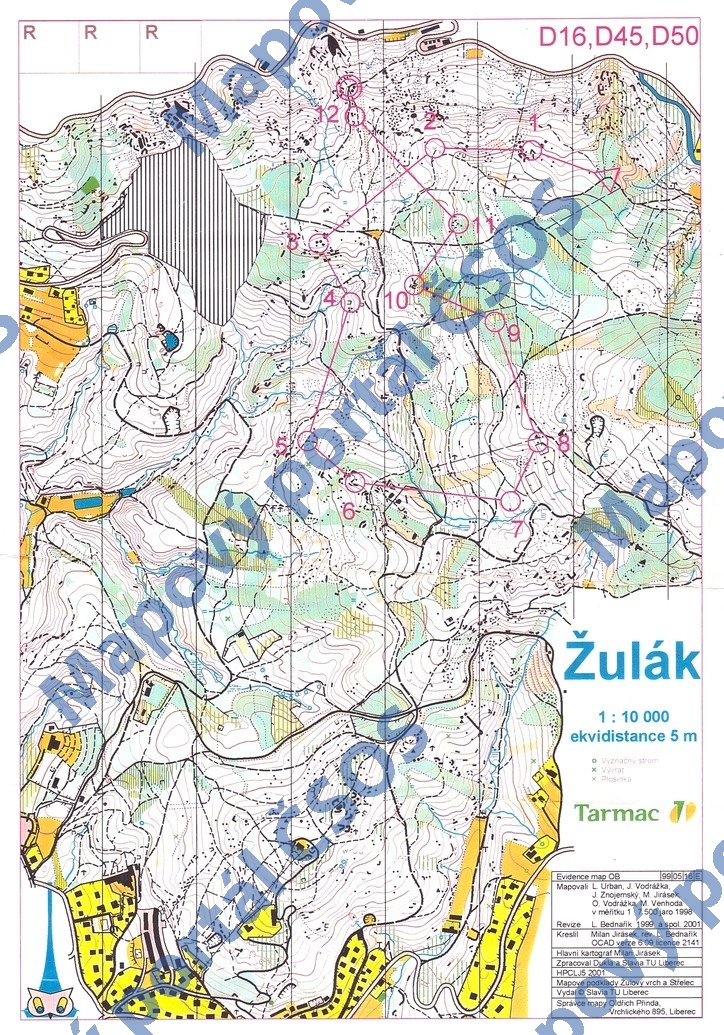
Map Žulák
Basic map data
| Scale |
1:10000 |
Equidistance |
5.0m |
Sport |
Foot-O
|
Specification |
ISOM (foot-O)
|
| Year |
2001
|
Published by |
Dukla a Slavia TU Liberec |
Filing number |
990516E |
| Blocking until |
2010 |
Blocking reason |
|
| Map admin |
Oldřich Přinda, Vrchlického 895, Liberec
|
Publisher |
DLI
|
Educational map |
ne |
| Locality |
Liberec sv |
Kraj |
Liberecký kraj |
Area size |
4.037 km2
|
| Based on |
OB |
Stav |
2001 |
Drawing technique |
OCAD 6
|
| Printed in |
HPCLJ5 |
Print technique |
5 colors
|
| Entry created by |
Zdeněk Lenhart |
Archive |
bb-0 |
ID/status |
9630 / archived |
Autoři
Obrys mapy
Náhled
Using the map without publisher's permission for organized events is copyright piracy. Please contact the map administrator listed in the Map Archive database and obtain maps in full quality for printing.