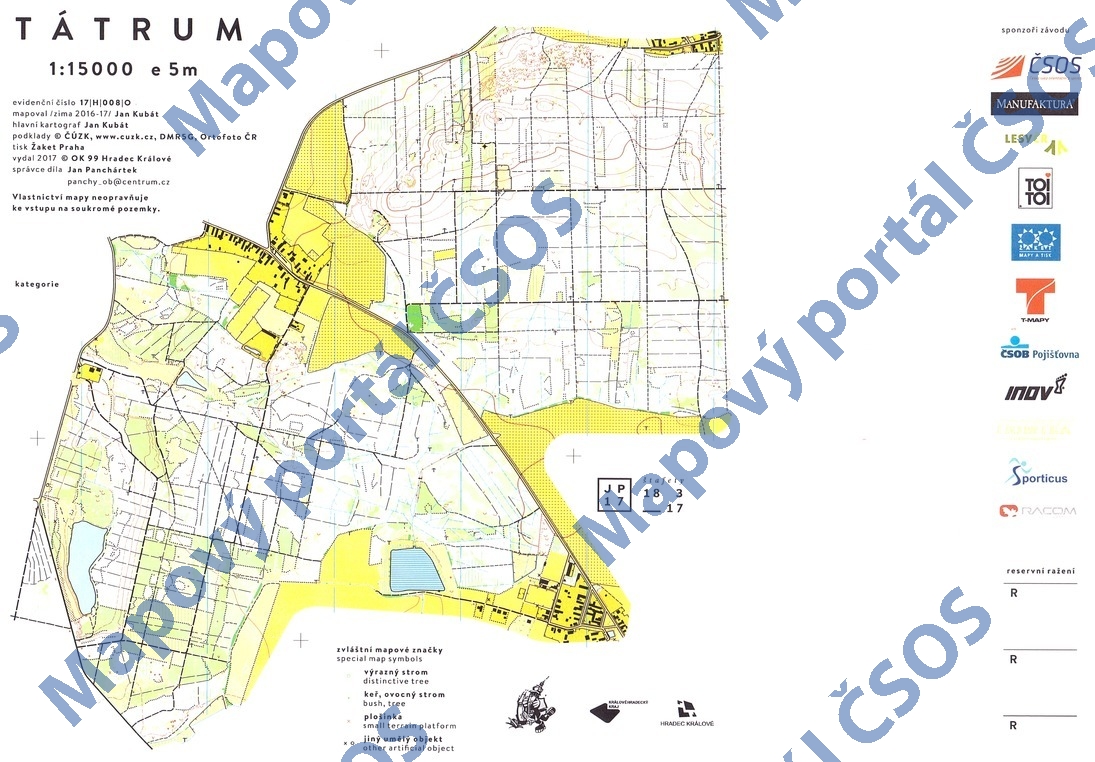
Map Tátrum
Basic map data
| Scale |
1:15000 |
Equidistance |
5.0m |
Sport |
Foot-O
|
Specification |
ISOM (foot-O)
|
| Year |
2017
|
Published by |
OK 99 Hradec Králové, z.s. |
Filing number |
17H008O |
| Blocking until |
2026 |
Blocking reason |
|
| Map admin |
Jan Panchártek
|
Publisher |
PHK - OK 99 Hradec Králové
|
Educational map |
ne |
| Locality |
Újezd u Přelouče |
Kraj |
Královéhradecký kraj |
Area size |
5.089 km2
|
| Based on |
DMR 5G, ortofoto |
Stav |
2017-03 |
Drawing technique |
OCAD
|
| Printed in |
Žaket |
Print technique |
laser
|
|
Main race (title)
|
Český pohár štafet (C), Česká liga klubů (C)
|
Main race (date) |
2017-03-18 |
| Entry created by |
Jan Panchártek |
Archive |
aaa0 |
ID/status |
9013 / archived |
Autoři
| Name |
Role |
| Kubát Jan |
main cartographer, mapped |
Obrys mapy
Náhled
Using the map without publisher's permission for organized events is copyright piracy. Please contact the map administrator listed in the Map Archive database and obtain maps in full quality for printing.