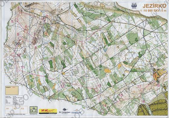
Map Jezírko
Basic map data
| Scale |
1:10000 |
Equidistance |
5.0m |
Sport |
Foot-O
|
Specification |
ISOM (foot-O)
|
| Year |
2010
|
Published by |
USK Praha |
Filing number |
100109E |
| Blocking until |
2019 |
Blocking reason |
|
| Map admin |
Petr Bořánek, petr.boranek@uskob.cz
|
Publisher |
VSP - USK Praha
|
Educational map |
ne |
| Locality |
Mníšek pod Brdy |
Kraj |
Středočeský kraj |
Area size |
5.671 km2
|
| Based on |
- |
Stav |
? |
Drawing technique |
OCAD
|
| Printed in |
Kartum |
Print technique |
laser
|
| Note (public) |
Jen JPG. Přiložena je i kopie části aktualizované verze použité pro SMIK 2013, údajně s evid. číslem z mapy Babka (Id 8441). |
| Entry created by |
archiv ČSOS |
Archive |
c--0 |
ID/status |
5891 / archived |
Autoři
Obrys mapy
Náhled
Using the map without publisher's permission for organized events is copyright piracy. Please contact the map administrator listed in the Map Archive database and obtain maps in full quality for printing.