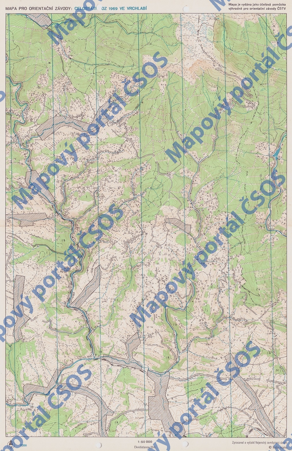
Map Celostátní OZ 1969 ve Vrchlabí
Basic map data
| Scale |
1:50000 |
Equidistance |
10.0m |
Sport |
Foot-O
|
Specification |
Topografická mapa, "zeleňavka"
|
| Year |
1969
|
Published by |
© Naše vojsko |
Filing number |
- |
| Blocking until |
0 |
Blocking reason |
|
| Map admin |
-
|
Publisher |
JIL - OK Jilemnice
|
Educational map |
ne |
| Locality |
Jilemnice,Jablonec n.J.,Harrachov,Špindlerův Mlýn |
Kraj |
Liberecký kraj |
Area size |
250.26 km2
|
| Based on |
SMO50 |
Stav |
- |
Drawing technique |
ink, pen
|
| Printed in |
VZÚ Praha |
Print technique |
4 colors
|
| Note (public) |
Na mapě bylo i MČSSR LOB 1972. |
| Main race (title) |
Celostátní OZ
|
Main race (date) |
01. 01. 1969 |
| Entry created by |
archiv ČSOS |
Archive |
abb3 |
ID/status |
2659 / archived |
Autoři
Obrys mapy
Náhled
Using the map without publisher's permission for organized events is copyright piracy. Please contact the map administrator listed in the Map Archive database and obtain maps in full quality for printing.