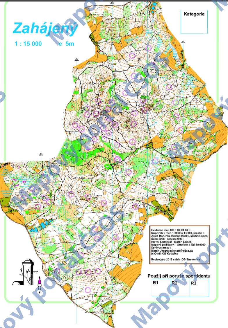
Map Zahájený
Basic map data
| Scale |
1:15000 |
Equidistance |
5.0m |
Sport |
Foot-O
|
Specification |
ISOM (foot-O)
|
| Year |
2012
|
Published by |
OOB Kotlářka |
Filing number |
090108E |
| Blocking until |
0 |
Blocking reason |
|
| Map admin |
Martin Janata, m.janata@atlas.cz
|
Publisher |
DKP - Oddíl OB Kotlářka
|
Educational map |
ne |
| Locality |
Zálesí (Strakonice 17jz) |
Kraj |
Jihočeský kraj |
Area size |
7.642 km2
|
| Based on |
ortofoto, ZM10 |
Stav |
2012 jaro |
Drawing technique |
OCAD 9
|
| Printed in |
OB Strakonice |
Print technique |
laser
|
| Note (public) |
Jen PNG. |
| Main race (title) |
-
|
Main race (date) |
--- |
| Entry created by |
Zdeněk Lenhart |
Archive |
c--0 |
ID/status |
14424 / archived |
Autoři
Obrys mapy
Náhled
Using the map without publisher's permission for organized events is copyright piracy. Please contact the map administrator listed in the Map Archive database and obtain maps in full quality for printing.