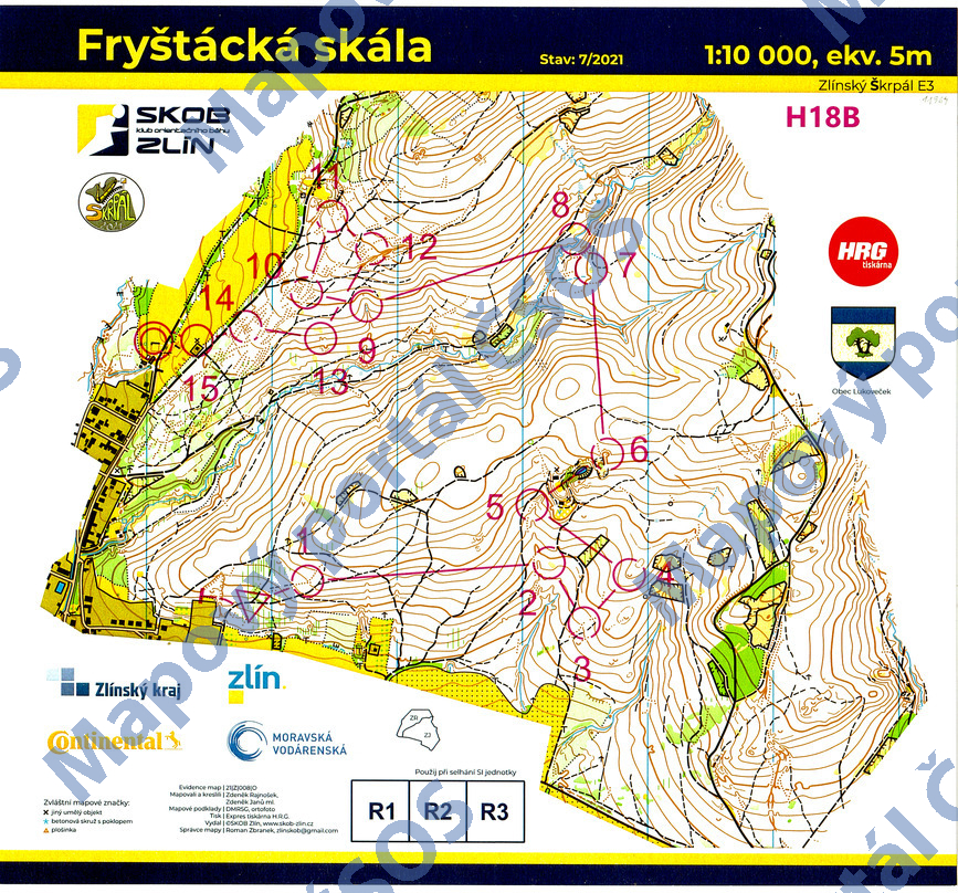
Map Fryštácká skála
Basic map data
| Scale |
1:10000 |
Equidistance |
5.0m |
Sport |
Foot-O
|
Specification |
ISOM (foot-O)
|
| Year |
2021
|
Published by |
SKOB Zlín |
Filing number |
21Z008O |
| Blocking until |
2030 |
Blocking reason |
|
| Map admin |
Roman Zbranek
|
Publisher |
TZL - SKOB Zlín
|
Educational map |
ne |
| Locality |
Lukoveček (Zlín 9s) |
Kraj |
Zlínský kraj |
Area size |
2.541 km2
|
| Based on |
LLS, ortofoto |
Stav |
2021-07 |
Drawing technique |
OCAD
|
| Printed in |
HRG tiskárna |
Print technique |
laser
|
| Main race (title) |
Zlínský (Š)krpál E3
|
Main race (date) |
08. 08. 2021 |
| Entry created by |
Roman Zbranek |
Archive |
bbb0 |
ID/status |
11694 / archived |
Autoři
Obrys mapy
Náhled
Using the map without publisher's permission for organized events is copyright piracy. Please contact the map administrator listed in the Map Archive database and obtain maps in full quality for printing.